 vesseltracker.com
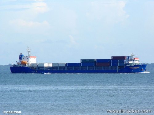
Find the position of the vessel TANTO LANGGENG on the map. The latter are known coordinates and path.
marine traffic ship tracker show on live map
The current position of vessel TANTO LANGGENG is -1.821045 lat / 100.476045 lng. Updated: 2025-10-20 05:35:08 UTCCurrently sailing under the flag of Indonesia
TANTO LANGGENG built in 2016 year
Deadweight:
8366 tDetails:
Last coordinates of the vessel:
UTC, -1.209815, 100.25163166667, course: -1, speed: 10.1UTC, -1.5500466666667, 100.374535, course: -1, speed: 9.5
UTC, -1.74653, 100.44815666667, course: -1, speed: 9.1
2025-10-20 05:35:08 UTC, -1.821045, 100.476045, course: -1, speed: 8.8